Why is Australia a continent and Greenland an island? It's about more than the sea around them
Both are surrounded by water, but Australia has its own tectonic plate, unique wildlife and nearly four times Greenland's size, while Greenland is geologically part of North America.
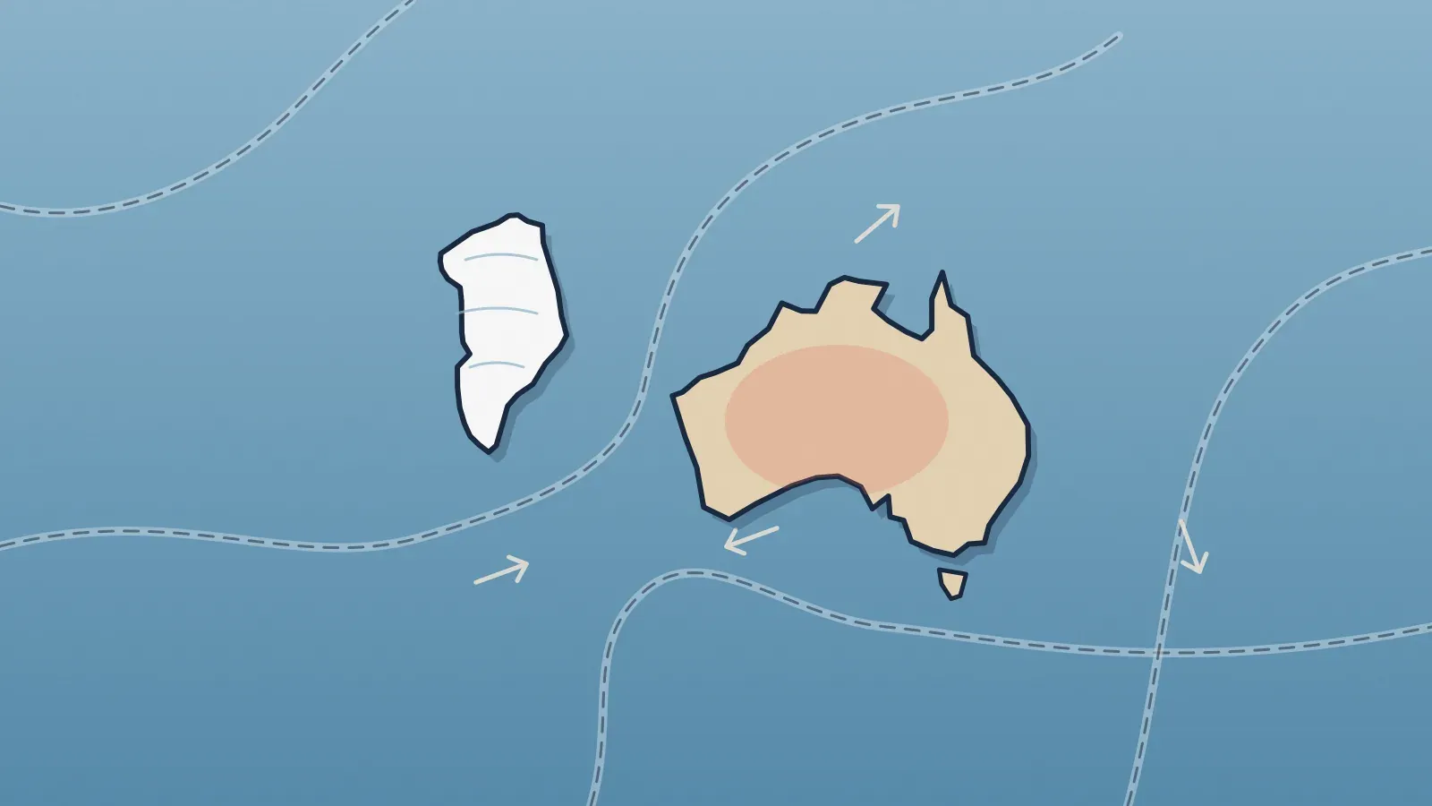
Both are surrounded by water, but Australia sits on its own tectonic plate, has plants and animals found nowhere else and is roughly four times larger. Greenland sits on the North American plate and is, geologically, a piece of North America. Beyond that, the line between island and continent is a matter of convention.
Is there an official definition of a continent?
No. No international body officially decides what counts as a continent, and scientists have no rigid rule for it. Encyclopaedia Britannica defines an island as land entirely surrounded by water and smaller than a continent. The definition is circular on purpose: islands and continents are treated as separate categories, and a landmass only counts as an island if it isn't considered a continent. That is why Australia is sometimes nicknamed the island continent, yet most geographers leave it off lists of islands, which are headed by Greenland.
In practice, geographers weigh several criteria at once. None is perfect on its own, but together they make the case of Australia and Greenland fairly clear.
What do tectonic plates have to do with it?
Earth's crust is broken into large plates that move slowly. Continents roughly line up with those plates. Australia sits on a plate separate from most of Asia, which is why it is treated as an independent continental block.
Greenland, for all its size, is part of the North American plate, as a NASA scientist explains in material on the island's geologic past. It is an extension of North America cut off by the sea, much like other big islands near continents. Politically, Greenland is tied to Denmark; geologically, to North America.
Does size matter too?
Very much. According to Geoscience Australia, the Australian government's geology agency, the country covers 7,688,287 square kilometers, about 2.97 million square miles, counting the mainland and its islands. That makes it the sixth-largest country in the world. Britannica puts Australia at roughly four times the size of Greenland, the largest island on the planet.
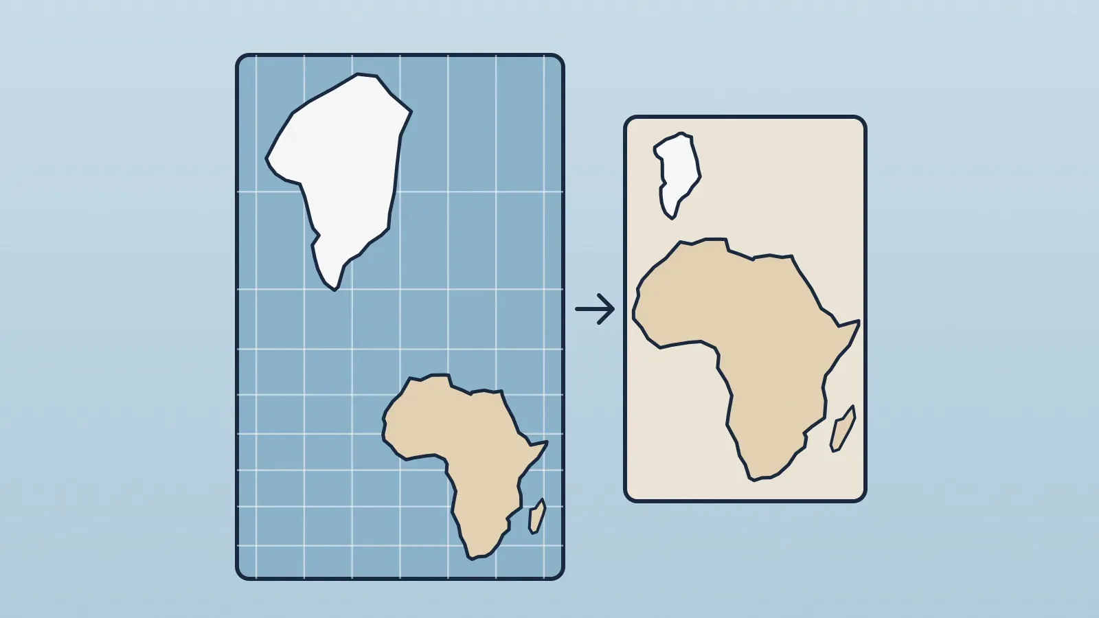
On everyday maps the comparison is misleading: Greenland can look even bigger than Australia, a side effect of the projection used on most world maps, which explains why Greenland looks so big on maps. On a globe, the difference shows up as it really is: a continent-sized block in the Southern Hemisphere and a large, ice-covered island tucked against northeastern Canada.
Do wildlife and people count?
They count as supporting evidence. Britannica notes that many of Australia's plant and animal species exist nowhere else, a product of the continent's long isolation. Greenland has far fewer species of its own.
The same goes for human history. Aboriginal Australians are found only in Australia, while the Inuit live across the Arctic, including parts of Canada, the United States and Russia. In that sense, Greenland belongs to a shared Arctic world.
So how many continents are there?
It depends on the model, and this is where convention shows most clearly. Plate boundaries don't always settle things: Europe and Asia share a plate yet are usually counted as separate continents, for cultural and historical reasons. Some common models:
- Seven continents: Africa, Antarctica, Asia, Australia (or Oceania), Europe, North America and South America. This is the model used by Britannica and National Geographic, for example.
- Six, merging Europe and Asia into Eurasia, which really is one continuous landmass.
- Other groupings, since no international body officially defines what a continent is: that is why the total can change from one atlas or school to another.
In every one of them, Australia is a continent, or the core of Oceania, and Greenland is an island. As with the question of how many countries there are in the world, the total depends on the rule you pick, but the verdict on these two landmasses doesn't.
There are even new contenders. In 2017, a team led by geologist Nick Mortimer of New Zealand's GNS Science argued in the journal GSA Today that Zealandia, an area of about 5 million square kilometers (1.9 million square miles) in the South Pacific, is a continent. Their arguments echo the ones made for Australia: seafloor samples show continental crust, lighter than the volcanic rock nearby, and satellite gravity maps reveal a coherent block, separate from Australia. The catch: about 94% of it is underwater, with only New Zealand and New Caledonia poking above the sea. If the idea wins wide acceptance, school maps could gain a nearly invisible continent.